
(Descriptions, if any, are above each picture.)

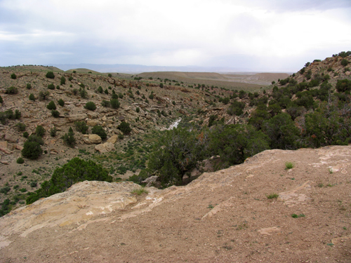
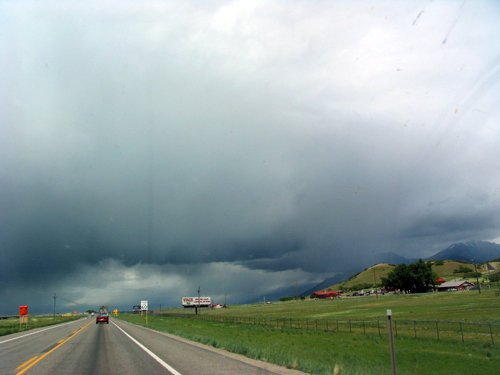
Here we are just inside Utah. It was cold and gusty here. I never would have thought this area would have been cold. But it was. There were big drops of rain as well. It was as if a strainer above were clogged. The drops were HUGE and they were spread few and far between. I called them “Summer Drops” Summer here and summer there.
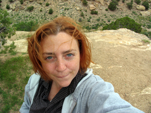
A self portrait of myself. No clue what I’m doing with my face.
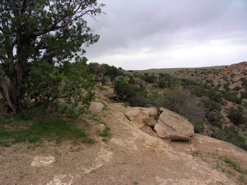
A bit more of the terrain.
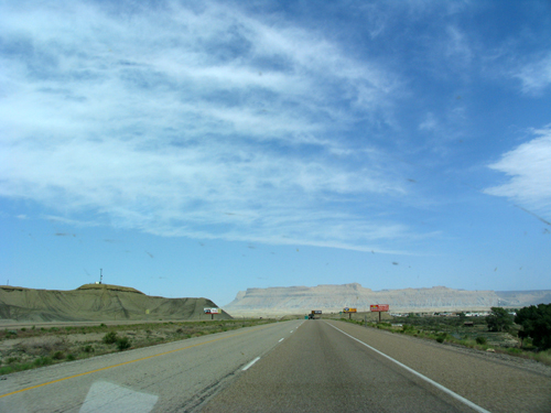
The picture below best illustrates the deterioration of my mental state as we drove from where Route 70 ended and north, along Route 6, which led us north into Provo and Salt Lake City. From that point on, we began to leave the green behind. Those mountains in the distance were as daunting and cold and desolate as they appear. As we drove towards them, they became bigger. As they became bigger, the greenery became smaller and smaller, until there was none. The rock turned red and began to form into contorted roadside ghosts. And this was cool for a little while. But then I felt sun-shocked and totally alone and small. After driving through this stretch in Utah, I am sure there are alien machines named “The Rover” or “Qubert” inhabiting parts of Utah, reporting back with images to some other species far, far away about how the terrain seems barren, but there does appear to be signs of life. I’m just sayin…
But I didn’t take pictures of that part of Utah. And I am only now regretting this. I missed the photograph of the dead horses, the little mormon towns, the weird red rocks, the lack of signs of living and life. I totally didn’t capture what looked like how I imagine the deepest, darkest parts of the ocean to be. I am sorry to say I have no record of desolation. Which means these images will probably haunt me for years to come.
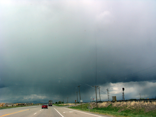
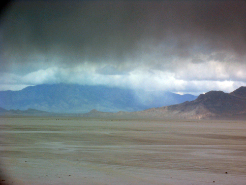
This was taken right outside Provo, after coming down off a massive mountain, thousands of feet above sea level. Storms were setting in again. There were several of them. We didn’t know it yet, but we’d hit them from now until the Nevada state line.
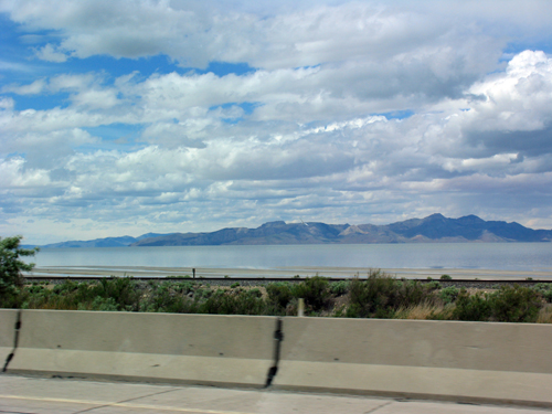
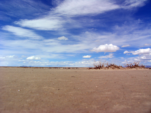
Here is an image of the most southern tip of the Great Salt Lake. This lake is quite nightmarish, if you were to ask this easterner. I don’t know, it just sits there all still and murky. Plus, it’s huge. Anyway, here is a photo. This was also taken right after we picked up Route 80.
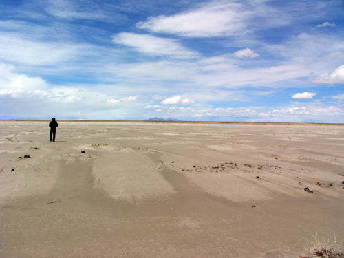
These are some of the lesser popular salt flats. We pulled over for a bit to take some pictures. The earth here is squishy. One might not sink, but one doesn’t feel too comfortable going too far out (though Toby did.) I kept expecting him to disappear into an unknown salt-flat, undercurrent.
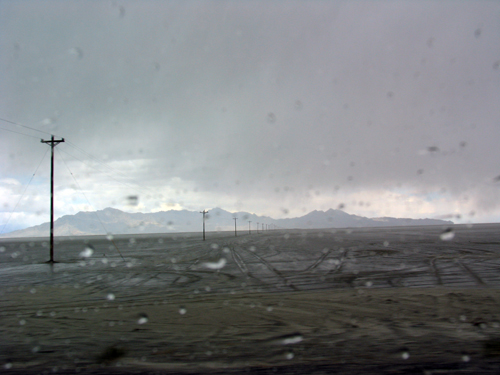
Out here is where the army testing grounds once were (are?). They are miles off the main highway, but there are signs of such along the way. My imagination took me places, picturing those HUGE mushroom clouds poofing out over the horizon at one time.
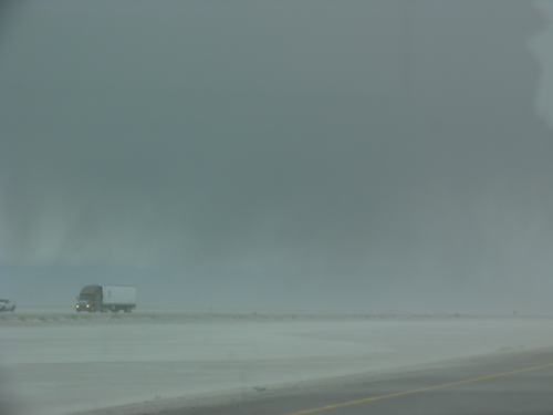
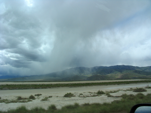
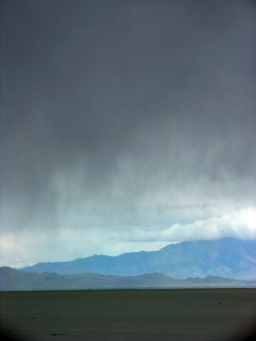
More storms. I do wish pictures could do this justice. I just don’t have the eye nor the equipment.


Leave a Reply